|
|
|
|
|
|
|
|
|
|
 | Las Vegas |
|
|
Las Vegas
|
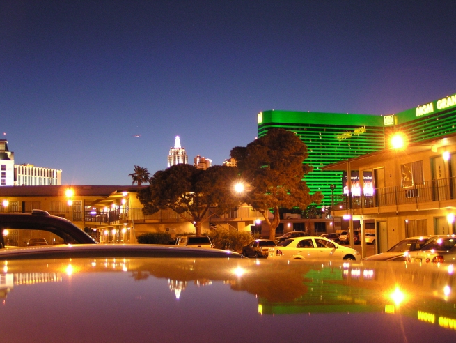
Las Vegas demands the suspension of disbelief - the moment you start to take it seriously you miss the point. It's glitz for its own sake, over-the-top hustle and flash as means and end. It's crowds of people in polyester pantsuits, big hair and gold chains, staring at neon signs and spinning lemons like deer hypnotized by headlights. Not that Vegas doesn't have a serious side: billions are at stake on the craps and blackjack tables and in the battle of the theme parks - but you're given enough distractions to ignore it - until you lose. If you tire of pulling the handle on that one-armed bandit and drinking watered-down (albeit free) screwdrivers, the surrounding area has some of the region's most beautiful scenery.
Population: 480,000
Area: 85 sq mi (215 sq km)
Elevation: 2178ft (664m)
State: Nevada
Time Zone: Pacific Time (GMT/UTC -8)
Telephone area code: 702
Las Vegas is in the southern part of the state of Nevada, about 50 miles (80km) east of the California border and 30mi (50km) west of the Arizona border. The city is divided into two main parts: a compact downtown called Glitter Gulch, centered on the intersection of Highway 95 and Interstate 15; and the Strip, a corridor of hotels and casinos lining I-15 a few miles south of downtown.
The casinos are divided between downtown's Glitter Gulch and the Strip; most hotels are on or near the Strip. McCarran International Airport is located at the southern end of the Strip, about 5mi (8km) south of downtown. The Greyhound bus and Amtrak railway stations are downtown (the railway station is located inside Gaughan's Plaza Hotel and Casino).
|
|
|
|
|
|
Orientation
|
Las Vegas is in the southern part of the state of Nevada, about 50 miles (80km) east of the California border and 30mi (50km) west of the Arizona border. The city is divided into two main parts: a compact downtown called Glitter Gulch, centered on the intersection of Highway 95 and Interstate 15; and the Strip, a corridor of hotels and casinos lining I-15 a few miles south of downtown.
The casinos are divided between downtown's Glitter Gulch and the Strip; most hotels are on or near the Strip. McCarran International Airport is located at the southern end of the Strip, about 5mi (8km) south of downtown. The Greyhound bus and Amtrak railway stations are downtown (the railway station is located inside Gaughan's Plaza Hotel and Casino).
|
|
|
|
|
|
|
|
|
|