|
|
|
|
|
|
|
|
|
|
 | Bryce Canyon |
|
|
|
|
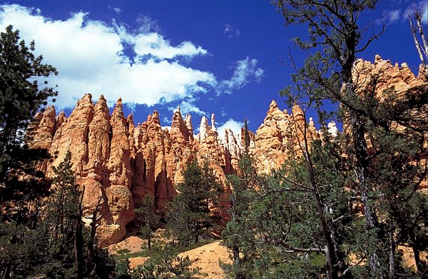
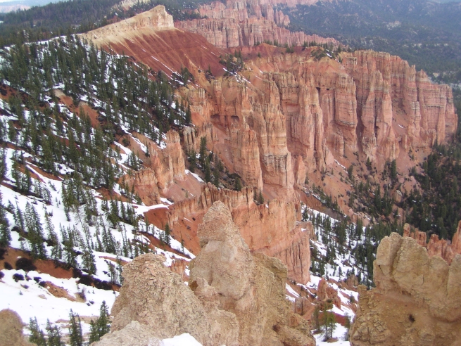
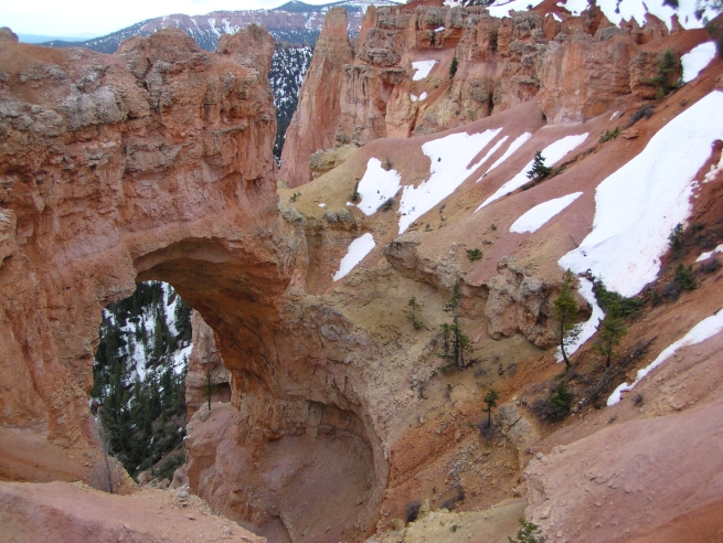
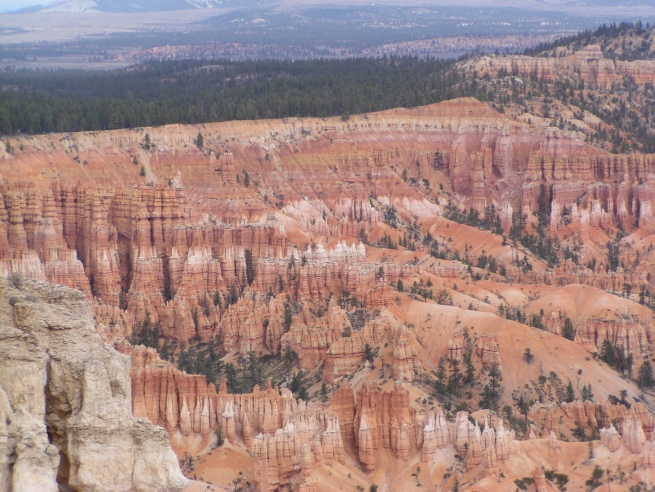
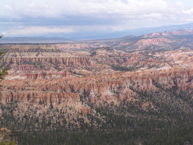
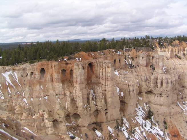
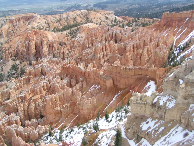
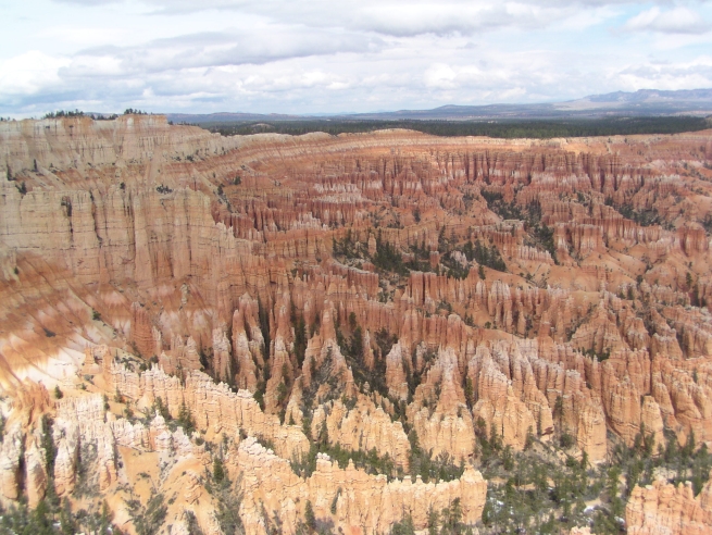
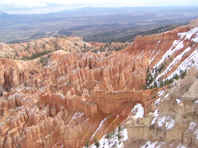
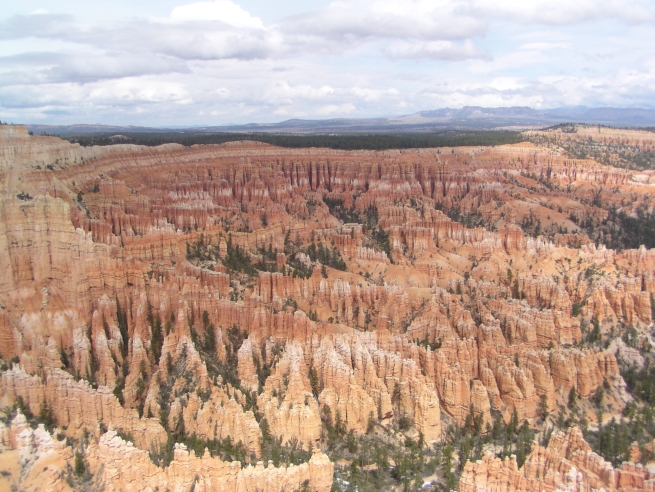
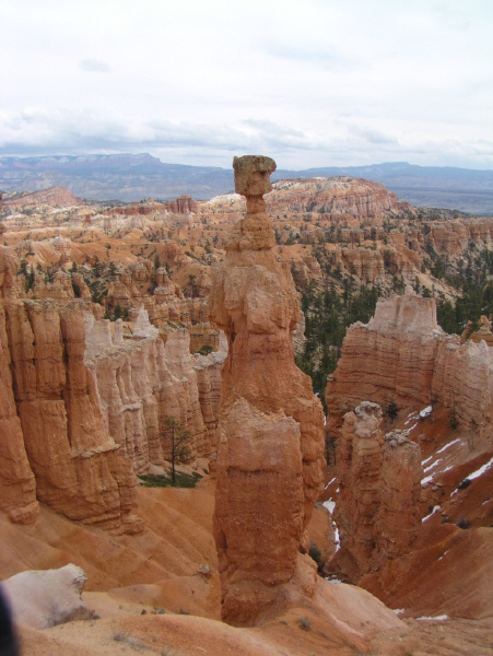
At Bryce Canyon National Park, erosion has shaped colorful Claron limestones, sandstones, and mudstones into thousands of spires, fines, pinnacles, and mazes. Collectively called "hoodoos," these colorful and whimsical formations stand in horseshoe-shaped amphitheaters along the eastern edge of the Paunsaugunt Plateau in Southern Utah.
Bryce Canyon National Park is named for one of a series of horseshoe-shaped amphitheaters carved from the eastern edge of the Paunsaugunt Plateau in southern Utah. Erosion has shaped colorful Claron limestones, sandstones and mudstones into thousands of spires, fins, pinnacles and mazes. Collectively called "hoodoos," these unique formations are whimsically arranged and tinted with colors too numerous and subtle to name.
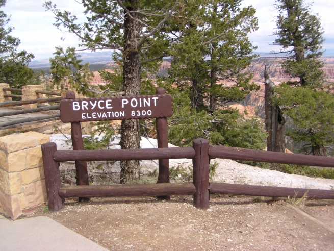
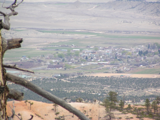
Ponderosa pines, high elevation meadows and fir-spruce forests border the rim of the plateau, while panoramic views of three states spread beyond the park's boundaries. This area boasts some of the nation's best air quality. This, coupled with the lack of nearby large light sources, creates unparalleled opportunities for star gazing.
|
|
|
|
|
|
Bryce Canyon National Park
|
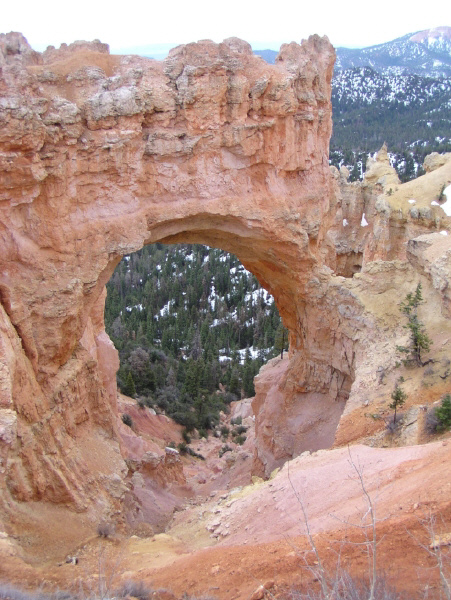
Hoodoo - a pillar or rock, usually of fantastic shape, left by erosion. Hoodoo - to cast a spell. At Bryce Canyon erosion forms an array of fantastic shapes we know as hoodoos. Surrounded by the beauty of southern Utah, these hoodoos cast their spell on all who visit. Geologists say that 10 million years ago forces within the Earth created and then moved the massive blocks we know as the Table Cliffs and Paunsaugunt plateaus. Rock layers on the Table Cliffs now tower 2000 feet above the same layers on the Paunsaugunt. Ancient rivers carved the tops and exposed edges of these blocks, removing some layers and sculpting intricate formations in others. The Paria Valley was created and later widened between the Plateaus.
The Paria River and its many tributaries continue to carve the plateau edges. Rushing waters, carrying dirt and gravel, gully the edges and steep slopes of the Paunsaugunt Plateau on which Bryce Canyon National Park lies. With time, tall thin ridges called fins emerge. Fins further erode into pinnacles and spires called hoodoos. These in turn weaken and fall, adding their bright colors to the hills below.
Early Native Americans left little to tell us of their use of the plateaus. We know that people have been in the Colorado Plateau region for about 12,000 years, but only random fragments of worked stone tell of their presence near Bryce Canyon. Artifacts tell a more detailed story of use at lower elevations beyond the park's boundary. Both Anasazi and Fremont influences are found near the park. The people of each culture left bits of a puzzle to be pieced together by present and future archeologists. Paiutes lived in the region when Euro-Americans arrived in southern Utah. Paiutes explained the colorful hoodoos as "Legend People" who were turned to stone by Coyote.
|
|
|
|
|
|
Bryce Canyon National Park
|
The Paiutes were living throughout the area when Capt. Clarence E. Dutton explored here with John Wesley Powell in the 1870s. Many of today's place names come from this time. Dutton's report gave the name Pink Cliffs to the Claron Formation. Other names-Paunsaugunt, place or home of the beavers; Paria, muddy water or elk water; Panguitch, water of fish; and Yovimpa, piont of pines-were derived from the Paiute language.
The Paiutes were displaced by emissaries of the LDS Church who developed the many small communities throughout Utah. Ebenezer Bryce aided in the settlement of southwestern Utah and northern Arizona. In 1875 he came to the Paria Valley to live and harvest timber from the plateau. Neighbors called the canyon behind his home Bryce's Canyon. Today it remains the name not only of one canyon but also of a national park.
Shortly after 1900, visitors were coming to see the colorful geologic sights, and the first accommodations were built along the Paunsaugunt Plateau rim above Bryce's Canyon. By 1920 efforts were started to set aside these scenic wonders. In 1923 President Warren G. Harding proclaimed part of the area as Bryce Canyon National Monument under the Powell (now Dixie) National Forest. In 1924 legislation was passed to establish the area as Utah National Park, but the provisions of this legislation were not met until 1928. Legislation was passed that year to change the name of the new park to Bryce Canyon National Park.
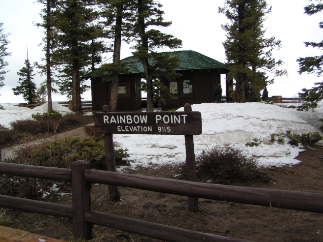
Each year the park is visited by more than 1.5 million visitors from all over the world. Languages as varied as the shapes and colors of the hoodoos express pleasure in the sights. Open all year, the park offers recreational opportunities in each season. Hiking, sightseeing, and photography are the most popular summer activities. Spring and fall months offer greater solitude. In the winter months, quiet combines with the area's best air quality for unparalleled views and serenity beyond compare. In all seasons fantastic shapes cast their spell to remind us of what we protect here in Bryce Canyon National Park.
|
|
|
|
|
Bryce Canyon photos
|
|
|
|
|
|
|
|